The Route to the Top
Likely conditions

Main route 1
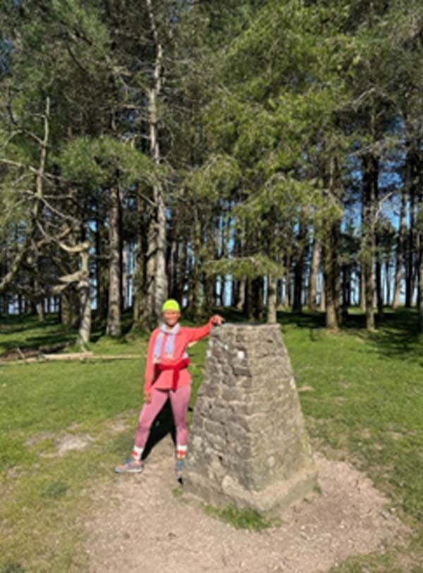
Starting at the Yew Tree Inn walk directly up the lane, past the cattle grid until you reach the top car park (1.23km). Turn left off the road, up the steeper footpath to the kissing gate and then direct to the summit trees and Trigpoint (2.27km)
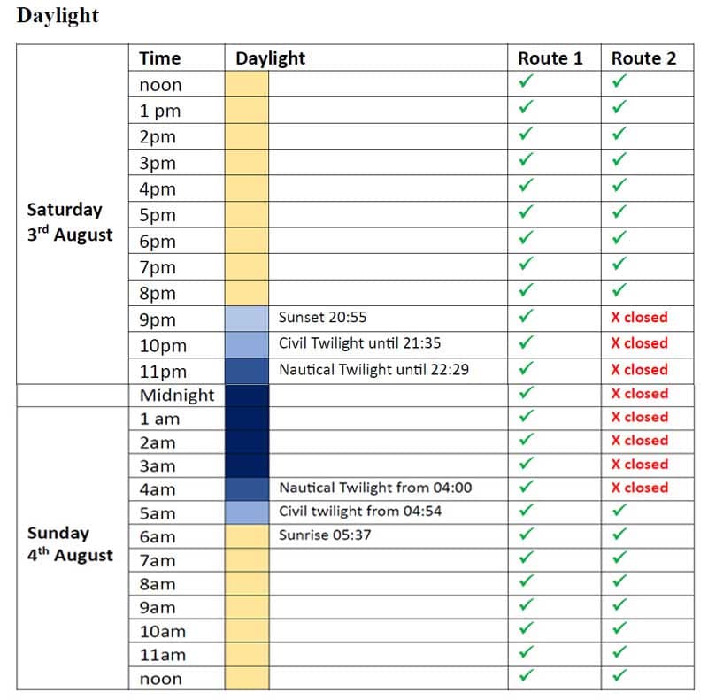
Alternative, daylight route 2 (not to be used between 9pm and 5am)
Past the cattle grid bear left up the forest track (green diamonds) and continue to the kissing gate and open common land leading to the summit trees. This route is shorter but steeper.
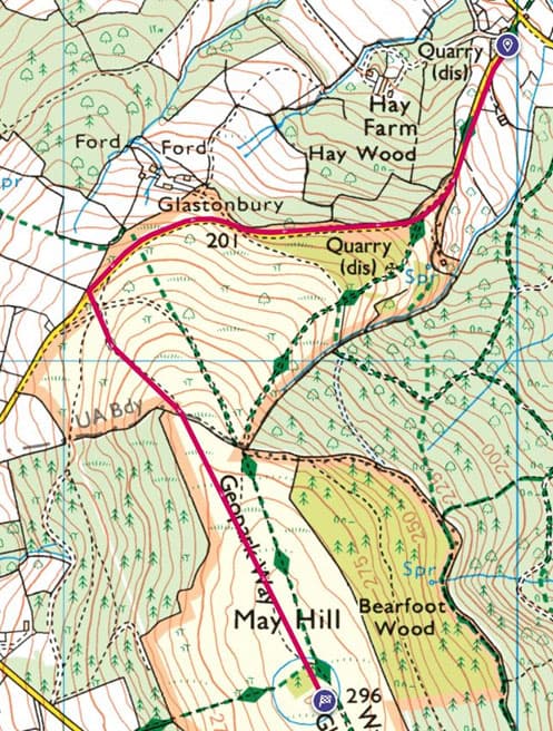
Character of the route
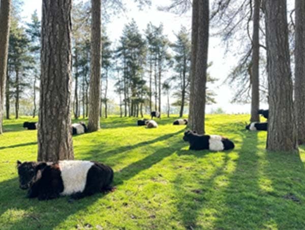
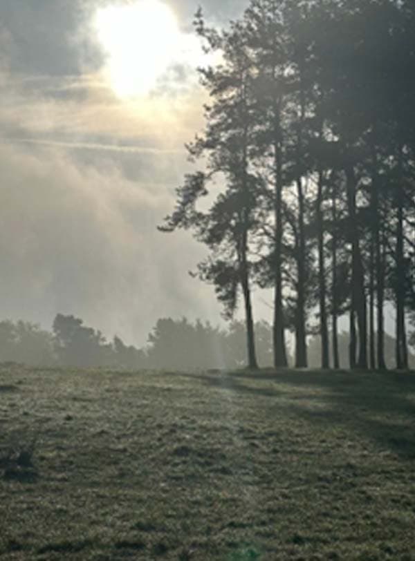
Average 8% gradient, around half on sealed road and half on footpath. May Hill is one of the most familiar landmarks in the Forest of Dean. On a clear day you can see 12 other counties and it is especially celebrated as a sunrise and sunset spot. The hill is easily recognised from many miles upon approach due to the iconic plantation of trees on the summit.